|
Southeastern Spitsbergen landscape-seascape and biodiversity dynamics |
|
|
 |
||||
 |
||||
|
|
|
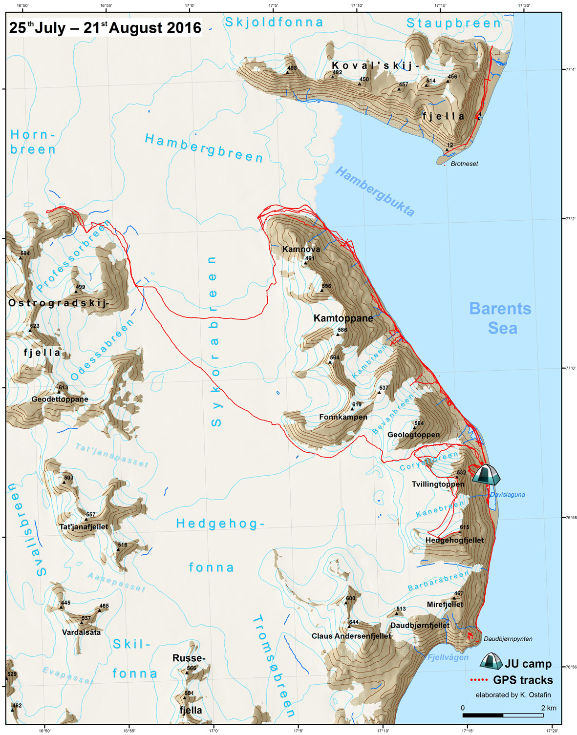
The map of Spitsbergen was elaborated based on map from Norwegian Polar Institute (2014). Kartdata Svalbard 1:100 000 (S100 Kartdata). Norwegian Polar Institute https://data.npolar.no/dataset/645336c7-adfe-4d5a-978d-9426fe788ee3 |
|
The project benefits from the support of the Prince Albert II of Monaco Foundation www.fpa2.com This document was produced with the financial assistance of the Prince Albert II of Monaco Foundation. The contents of this document are the sole responsibility of Jagiellonian University in Krakow and can under no circumstances be regarded as reflecting the position of the Prince Albert II of Monaco Foundation |
|
